File:MapMagdalanate.jpg
Jump to navigation
Jump to search
Size of this preview: 800 × 444 pixels. Other resolutions: 320 × 178 pixels | 1,474 × 818 pixels.
Original file (1,474 × 818 pixels, file size: 469 KB, MIME type: image/jpeg)
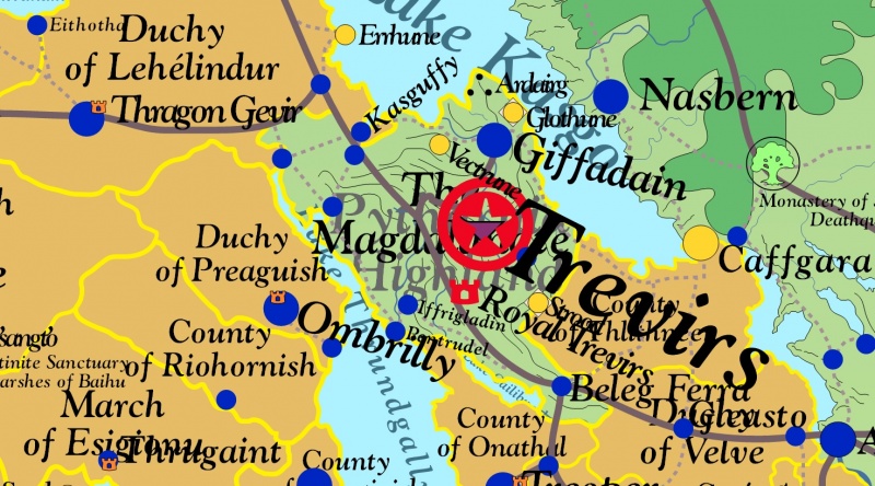
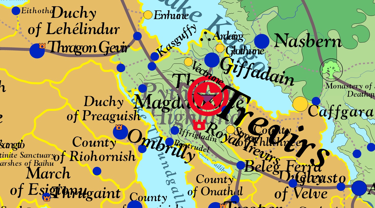
Map of The Magdalanate among neighboring principalities All Rights Reserved
File history
Click on a date/time to view the file as it appeared at that time.
| Date/Time | Thumbnail | Dimensions | User | Comment | |
|---|---|---|---|---|---|
| current | 20:50, 8 January 2014 | | 1,474 × 818 (469 KB) | Trismegistus (talk | contribs) | Map of The Magdalanate among neighboring principalities All Rights Reserved |
You cannot overwrite this file.
File usage
The following 2 pages use this file: