File:MapYophentheanEmpireca800.jpg
Jump to navigation
Jump to search

Size of this preview: 800 × 418 pixels. Other resolutions: 320 × 167 pixels | 1,414 × 738 pixels.
Original file (1,414 × 738 pixels, file size: 455 KB, MIME type: image/jpeg)
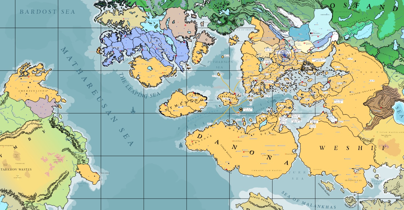
Map of the Yophenthean Empire around its greatest extent ca 800 AI; Asdarah Screen Capture
File history
Click on a date/time to view the file as it appeared at that time.
| Date/Time | Thumbnail | Dimensions | User | Comment | |
|---|---|---|---|---|---|
| current | 20:34, 22 December 2013 | | 1,414 × 738 (455 KB) | Trismegistus (talk | contribs) | Map of the Yophenthean Empire around its greatest extent ca 800 AI; Asdarah Screen Capture |
You cannot overwrite this file.
File usage
The following page uses this file: